Mapping and Modeling Spatio-temporal patterns of Vegetation and Soil change Along Mediterranean to Arid Climatic Gradient
Motivation and Aims

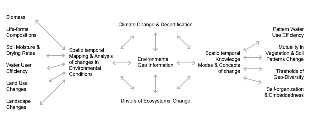
Climate change and desertification theories are among the principle paradigms of our era with considerable debates regarding the processes taking place and their rates. According to IPCC predictions the South-Eastern Mediterranean is one of the hot-spots of Global climate change with expected reduction of 20% in water availability until the end of this century. Acceleration in the rates of processes during the end of the last century is suggested while analysis of climatic records show diverse (contradicting) trends. The interaction between climatic and anthropogenic sources of desertification is a major source of uncertainty regarding these trends. Fluctuations in climatic conditions and anthropogenic activities in this region during the last 5000 years resulted in high geodiversity of vegetation and soil (V&S) patterns. This geo-diversity explains the resilience of semi-arid ecosystems, while hampering the extraction of information regarding their change. The objectives of my long-term research are: to develop remote sensing methods which will allow wide regional mapping of V&S properties across climatic gradients of high geo-diversity, where climate change and desertification are expected to result ecosystems’ shift; and to reveal and model V&S modes of change with respect to natural and anthropogenic sources of influence.
Environmental GeoInformation concern development of methods for deriving Spatio-temporal information and the extraction of knowledge relevant to the understanding of Mediterranean ecosystems response to climate change and Desertification.